Where Is Lake America?
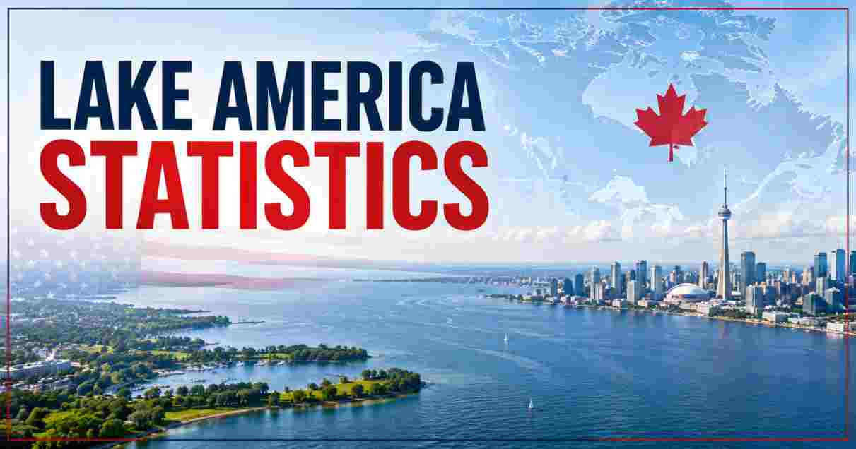
Lake America is the new official US federal name, as of today, for the body of water long known as Lake Ontario — the smallest by surface area and most easterly of North America’s five Great Lakes. The lake sits on the border between New York State in the US and the Canadian province of Ontario, discharging into the St. Lawrence River and, from there, the Atlantic Ocean. President Trump signed the executive order in the Oval Office, stating the lake should be renamed “in recognition of this flourishing economic resource and its critical importance to our Nation’s economy and its people.” The order directs that all federal government references, including agency maps, contracts, and other documents, use the new name going forward.
Key Lake America (Lake Ontario) Facts in 2026
| Fact | Figure |
|---|---|
| Date renamed | August 27, 2026, via presidential executive order |
| Previous/international name | Lake Ontario |
| Federal agency directed to implement change | Department of the Interior, Secretary Doug Burgum |
| Deadline for GNIS database update | Within 30 days of the order |
| Rank among the Great Lakes by surface area | Smallest of the five |
| Rank among the Great Lakes by position | Most easterly, last in the hydrologic chain |
| Global rank by surface area | 13th-largest lake in the world |
| Surface area | 7,340 square miles (19,011 km²) |
| Maximum depth | 802 feet (244 m) |
| US population in the watershed | ~2.8 million |
| Canadian population in the watershed | ~2.8 million |
Source: US executive order text via Axios and Forbes, August 27, 2026; Encyclopaedia Britannica; Wikipedia Lake Ontario entry; Michigan Sea Grant basin statistics via lakehuronweather.org.
Every physical statistic that made Lake Ontario the smallest of the Great Lakes by surface area, and the 13th-largest lake on Earth, remains exactly the same under its new federal name. What has changed is purely administrative: US government maps, contracts, and official communications must now refer to the water body as Lake America, while the roughly 5.6 million people living across its combined US and Canadian watershed continue calling it whatever they called it yesterday.
The legal authority behind the order is worth flagging clearly, since it mirrors questions raised after the Gulf of Mexico renaming. As CNN’s political coverage noted, Trump “has wide latitude over how the US government refers to geographic landmarks, but he can’t force other countries to follow suit.” That means Lake America is the name in US federal usage only — Canada, international mapmakers, and the rest of the world retain no obligation to adopt it, creating a genuine split-name situation for a lake two countries share a border across.
Lake America (Lake Ontario) Size and Geography Statistics 2026
| Geographic Metric | Figure |
|---|---|
| Surface area | 7,340 sq mi (19,011 km²) |
| Maximum length | 193 miles (311 km) |
| Maximum width | 53 miles (85 km) |
| Shoreline length (including islands) | 712 miles (1,146 km) |
| Drainage/catchment basin area | 24,720 sq mi (64,000 km²) |
| Surface elevation above sea level | 243 feet (74 m) |
| Bordering US state | New York |
| Bordering Canadian province | Ontario |
Source: Wikipedia Lake Ontario; Encyclopaedia Britannica “Lake Ontario”; The Canadian Encyclopedia.
Great Lakes Surface Area Comparison (Approx., Square Miles)
Lake Superior    ████████████████████████████████████████ 31,700
Lake Huron       ███████████████████████████████ 23,000
Lake Michigan    ███████████████████████████ 22,300
Lake Erie        ████████████ 9,910
Lake America     █████████ 7,340 (formerly Lake Ontario)
Despite carrying the name America as of today, the lake remains the physically smallest of the five Great Lakes by surface area — a distinction that predates the renaming and has nothing to do with it. Its 7,340-square-mile surface is dwarfed by Lake Superior’s roughly 31,700 square miles, yet the lake more than makes up for its modest footprint with its role in the St. Lawrence Seaway system, since it sits as the final lake before water drains out to the Atlantic Ocean.
The lake’s elongated, elliptical shape — 193 miles long but only 53 miles at its widest — combined with a 712-mile shoreline that touches major urban centers on both sides of the border, has made it one of the most economically significant bodies of fresh water in North America regardless of what name appears on federal paperwork. Its 24,720-square-mile drainage basin, larger than the lake’s own surface area by more than threefold, funnels water in from the Niagara, Genesee, Oswego, Black, and Trent rivers before it exits through the St. Lawrence.
Lake America (Lake Ontario) Depth and Volume Statistics 2026
| Depth/Volume Metric | Figure |
|---|---|
| Average depth | 283 feet (86 m) |
| Maximum depth | 802 feet (244 m) |
| Deepest point location | Rochester Basin |
| Water volume | 391-393 cubic miles (1,631-1,640 km³) |
| Rank by depth among the Great Lakes | 3rd-deepest |
| Rank by volume among the Great Lakes | 2nd-least (exceeds only Lake Erie) |
| Water residence/replacement time | ~6 years |
| Primary inlet | Niagara River (from Lake Erie) |
| Primary outlet | St. Lawrence River |
Source: Britannica; New World Encyclopedia; Wikipedia Lake Ontario infobox data; lakehuronweather.org Great Lakes basin statistics.
Lake America (Lake Ontario) Depth Profile
Average depth ████████████████████████████ 283 ft
Maximum depth ██████████████████████████████████████████802 ft
The gap between the lake’s 283-foot average depth and its 802-foot maximum depth at the Rochester Basin illustrates how uneven the lakebed is beneath a surface that, from shore, looks relatively uniform. That maximum depth makes it the third-deepest of the five Great Lakes, trailing only Lake Superior and Lake Michigan, even though it ranks last in overall surface area — a reminder that a lake’s footprint and its depth don’t necessarily track together.
Despite exceeding Lake Erie in total water volume at roughly 391 to 393 cubic miles, the lake still holds the second-smallest volume among the five Great Lakes overall, a function of its comparatively narrow surface area even with genuine depth in places like the Rochester Basin. The six-year water residence time — how long, on average, a given molecule of water spends in the lake before flowing out through the St. Lawrence — reflects the lake’s position as the terminal basin in the Great Lakes chain, receiving inflow from the entire upstream system via the Niagara River before finally discharging to the ocean.
Lake America (Lake Ontario) Population and Watershed Statistics 2026
| Population Metric | Figure |
|---|---|
| US population within the watershed | ~2.8 million |
| Canadian population within the watershed | ~2.8 million |
| Combined watershed population | ~5.6 million |
| Share of Ontario’s provincial population living near the lake | Over 55% |
| Share of Canada’s total population in the wider watershed | Close to 9 million / over 25% (broader regional figure) |
| Major Canadian cities on the shore | Toronto, Hamilton, Oshawa, Mississauga |
| Major US cities on the shore | Rochester, Oswego (New York) |
| Character of the American shoreline | Largely rural, apart from Rochester metro |
Source: The Canadian Encyclopedia; New World Encyclopedia; Great Lakes Guide (greatlakes.guide).
Watershed Population Split (Approximate)
US side (New York)          ██████████████████ 2.8 million
Canadian side (Ontario)     ██████████████████ 2.8 million
The near-even 2.8-million-to-2.8-million population split between the US and Canadian sides of the watershed masks a much sharper underlying imbalance in urban development. On the Canadian side, the lake anchors the “Golden Horseshoe,” the industrial and economic heartland of the country, encompassing Toronto, Hamilton, and the St. Catharines corridor — a dense, highly urbanized region that accounts for over 55% of Ontario’s entire provincial population living within reach of the shoreline.
The American side tells a very different story: outside of the Rochester metro area and the smaller port city of Oswego, the US shoreline remains largely rural, a contrast that has shaped everything from cross-border ferry service history to how each country’s federal and provincial governments have prioritized shoreline development and environmental protection over the decades. With today’s renaming order placing the lake at the center of a live US-Canada trade dispute, this population imbalance is likely to keep drawing attention, since any economic friction the dispute generates will be felt far more heavily by the dense Canadian communities on the Golden Horseshoe than by the comparatively sparse American shoreline. Readers interested in the demographic trends shaping the Canadian side of the watershed can find deeper coverage in our Ontario population statistics report, which tracks the province’s growth, decline, and immigration patterns in more detail.
Great Lakes Comparison Statistics 2026
| Lake | Surface Area | Max Depth | Rank by Size |
|---|---|---|---|
| Lake Superior | 31,700 sq mi | 1,332 ft | 1st (largest) |
| Lake Huron | 23,000 sq mi | 750 ft | 2nd |
| Lake Michigan | 22,300 sq mi | 923 ft | 3rd |
| Lake Erie | 9,910 sq mi | 210 ft | 4th |
| Lake America (Lake Ontario) | 7,340 sq mi | 802 ft | 5th (smallest) |
Source: US EPA Great Lakes fact sheets; Wikipedia Great Lakes comparative data; Britannica Great Lakes overview.
Placed alongside its sister lakes, Lake America occupies a distinctive position: smallest by surface area, yet deeper than both Lake Huron and Lake Erie, and only narrowly trailing Lake Michigan for depth. This combination of a compact footprint with genuine depth is part of what makes the lake resistant to the kind of seasonal ice cover that regularly locks up the shallower Lake Erie, since deeper water bodies hold heat more effectively through the winter months.
The renaming today applies exclusively to this one lake in the chain — Superior, Huron, Michigan, and Erie retain their existing names under US federal usage, at least for now, though Trump did suggest during the signing ceremony that he “could change the name of the Pacific or Atlantic Ocean next,” a remark reporters characterized as unclear whether he was being serious. Whatever comes next, today’s order leaves the comparative rankings among the Great Lakes completely intact — only the label attached to the smallest one has changed. For broader context on how other major freshwater and river systems compare globally in scale and economic importance, our Danube River statistics report offers a useful international comparison point.
Lake America Renaming: Reaction and Trade Context 2026
| Context Metric | Detail |
|---|---|
| Tariffs on Canadian goods announced the same week | 50%, on ~$20 billion of goods |
| Effective date of new tariffs | Saturday (following the order) |
| Canadian retaliatory tariffs (separate action) | Hit roughly 700 American products worth $20 billion/year |
| Canadian PM’s public response | Mark Carney disputed the order on X (formerly Twitter) |
| Historical precedent cited | Gulf of Mexico renamed “Gulf of America,” January 2025 |
| Legal limitation on the order | Binds US federal usage only; cannot compel Canada or other countries |
| Unofficial consumer response | Lakeamerica.ca launched selling satirical “Department of Tourism” merchandise |
| Trump’s stated additional consideration | Floated possibly renaming the Pacific or Atlantic Ocean next |
Source: Axios, CNN Politics, Forbes, and The Washington Post breaking coverage, August 27, 2026.
Timeline: Trump-Canada Rebranding and Trade Actions, 2026
Aug 2026 (early)   Trump threatens renaming via Truth Social post
Aug 26, 2026        Video teaser posted crossing out "Lake Ontario" on a map
Aug 27, 2026        Executive order signed renaming the lake "Lake America"
Aug 27, 2026        50% tariffs on ~$20B Canadian goods announced same week
This Saturday       New tariffs take effect
The timing of today’s order makes clear it functions as a deliberate escalation in an ongoing trade confrontation rather than an isolated cartographic decision. Trump first floated the idea on Truth Social earlier this week, writing “we don’t expect to be doing much business with Ontario any longer,” before posting a video teaser of himself crossing out “Lake Ontario” on a physical map the day before the formal signing. That sequence — social media threat, video tease, then formal executive order — closely tracks the same pattern many of his other 2025-2026 policy rollouts have followed.
Canada’s response has been swift on two fronts: diplomatically, through Prime Minister Mark Carney’s public pushback on the historical and linguistic origins of the lake’s name, and economically, through retaliatory tariffs affecting roughly 700 American products worth $20 billion annually. The satirical Lakeamerica.ca website, offering “officially unofficial” merchandise for “a place that may or may not exist,” captures the broader public reaction to a renaming widely covered as more symbolic theater than substantive geographic policy — even as the underlying tariff actions accompanying it carry genuine economic consequences for communities on both sides of the water. For a wider view of how this fits into the broader bilateral relationship, our Canada population statistics report offers useful context on the demographic and economic backdrop against which this trade dispute is unfolding.
Disclaimer: The data research report we present here is based on information found from various sources. We are not liable for any financial loss, errors, or damages of any kind that may result from the use of the information herein. We acknowledge that though we try to report accurately, we cannot verify the absolute facts of everything that has been represented.